Karta grada
Svaka znamenitost, stajalište za hranu i vidikovac, plus četiri samostalne šetnje.
- 44 places
- 20 beaches
- 4 self-guided routes
- Opens in Google & Apple Maps
Filtrirajte ono što vidite
Tick a layer to show or hide it. Tap any pin for a short note, directions in Google or Apple Maps, and a link to the full guide.
Podaci karte © OpenStreetMap suradnici. Pločice © OpenStreetMap.
Four self-guided routes
Two walks through Chora, the south coast by bus and water taxi, and a drive along the wild north. Each opens in Google or Apple Maps with every stop loaded.
How the island fits together
Chora on the west coast
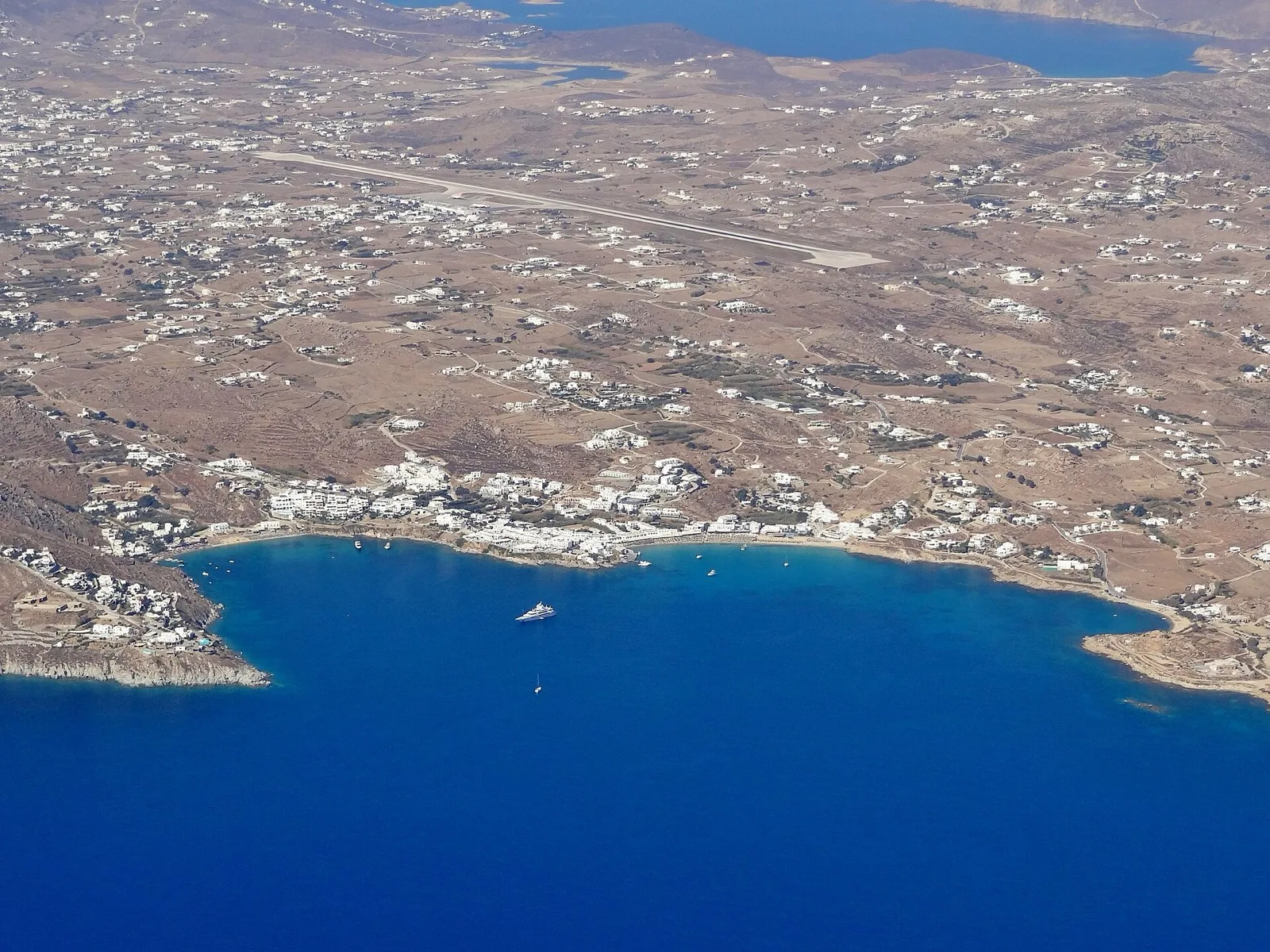
Town, both bus stations and the Old Port with the Delos boats. The New Port and the airport are each about 3 km away.
Beaches south and east
The sheltered coast runs from Ornos to Elia, then Kalo Livadi, Kalafatis and Lia in the east.
Wild north
Ftelia, Panormos, Agios Sostis and Fokos face the summer wind — best on calm days.
Using the map without signal
Download Mykonos in Google Maps or Organic Maps while you are on Wi-Fi: in Google Maps, search for Mykonos and choose Download offline map; in Organic Maps, download the Greece region once. Chora's lanes are hard to follow on GPS — the windmills, Little Venice and the Old Port are the easiest landmarks to steer by.
Signal is good in Chora and on the main beaches, weaker on the north coast and at sea on the Delos boat. Driving routes assume a car or ATV; for the south coast, the bus and water-taxi route is cheaper and avoids August parking. See kretanje for fares.